File:Astley's London Map.jpg
From Circopedia
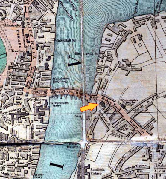
Size of this preview: 555 × 599 pixels. Other resolution: 222 × 240 pixels.
Original file (1,389 × 1,500 pixels, file size: 710 KB, MIME type: image/jpeg)
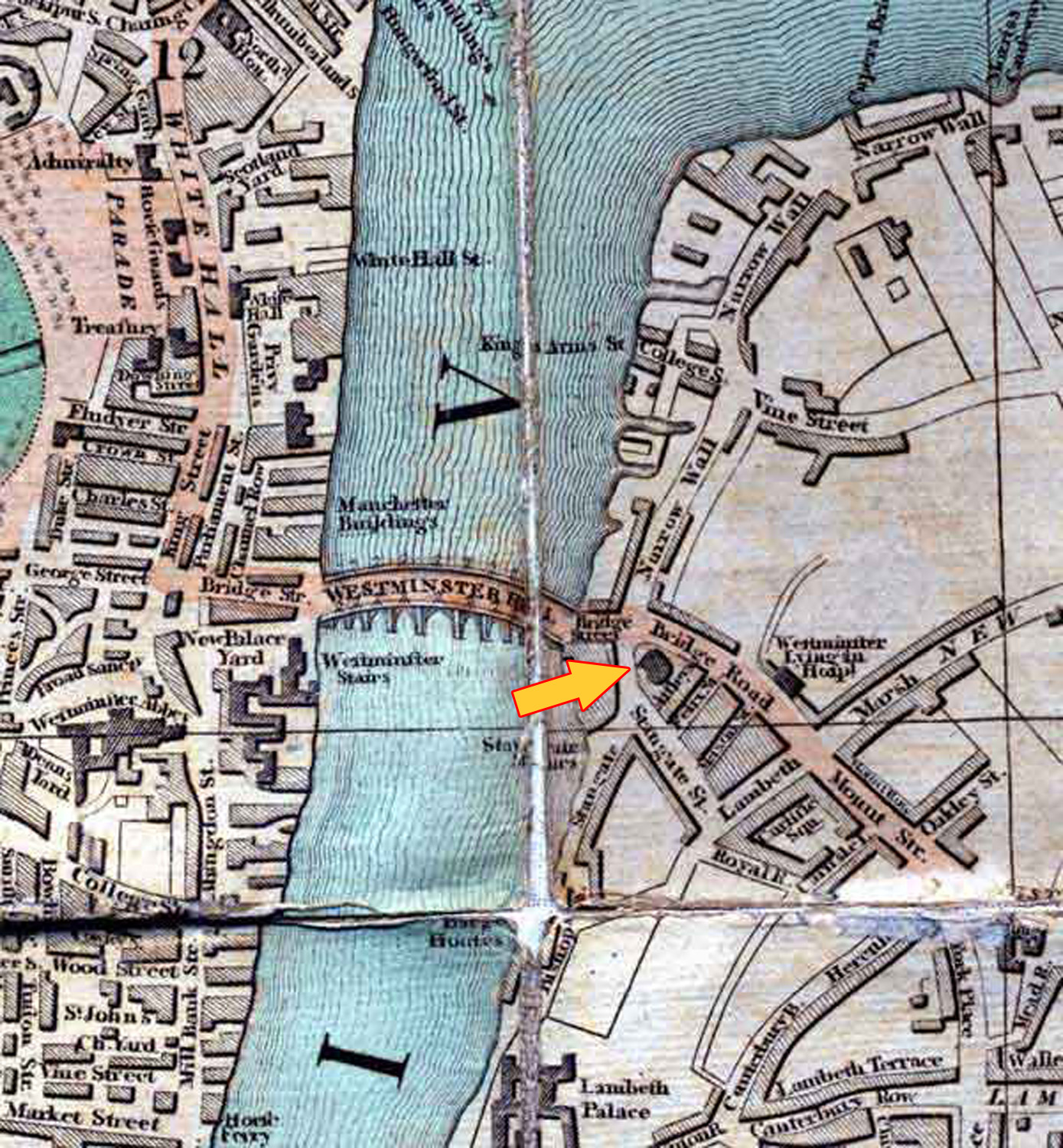
1802 map of London showing the location of Astley's Amphitheatre (indicated by the added yellow arrow) — From A Picture of London for 1802 by R. Phillips.
See Also
- Biography: Philip Astley
- History: Astley's Amphitheatre
File history
Click on a date/time to view the file as it appeared at that time.
| Date/Time | Thumbnail | Dimensions | User | Comment | |
|---|---|---|---|---|---|
| current | 23:44, 11 July 2009 | | 1,389 × 1,500 (710 KB) | Djando (Talk | contribs) | Old map of London showing the location of Astley's Amphitheatre (1802) - From ''A Picture of London for 1802'' by R. Phillips. |
- You cannot overwrite this file.
File usage
The following 2 pages link to this file: