Difference between revisions of "File:Wien Prater.jpg"
From Circopedia
| Line 1: | Line 1: | ||
| − | Map of Leopoldstadt, the district of Vienna that includes the Prater, by Carl Graf Vasquez. The red arrow shows the | + | Map of Leopoldstadt, the district of Vienna that includes the Prater, by Carl Graf Vasquez. The red arrow on the right shows the emplacement of Circus Gymnasticus (1830) — ''Document: Wien.at - Maps'' |
==See Also== | ==See Also== | ||
Revision as of 00:12, 1 March 2015
Map of Leopoldstadt, the district of Vienna that includes the Prater, by Carl Graf Vasquez. The red arrow on the right shows the emplacement of Circus Gymnasticus (1830) — Document: Wien.at - Maps
See Also
History: Circus Gymnasticus
File history
Click on a date/time to view the file as it appeared at that time.
| Date/Time | Thumbnail | Dimensions | User | Comment | |
|---|---|---|---|---|---|
| current | 00:07, 1 March 2015 | 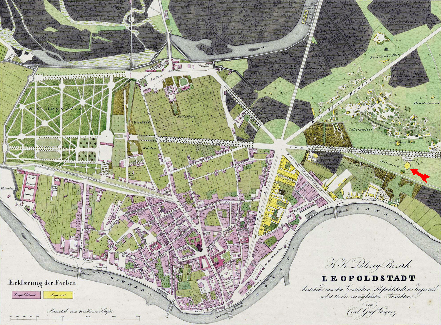 | 1,500 × 1,105 (924 KB) | Djando (Talk | contribs) |
- You cannot overwrite this file.
File usage
The following page links to this file: