File:Oslo Cirkus modern map.png
From Circopedia
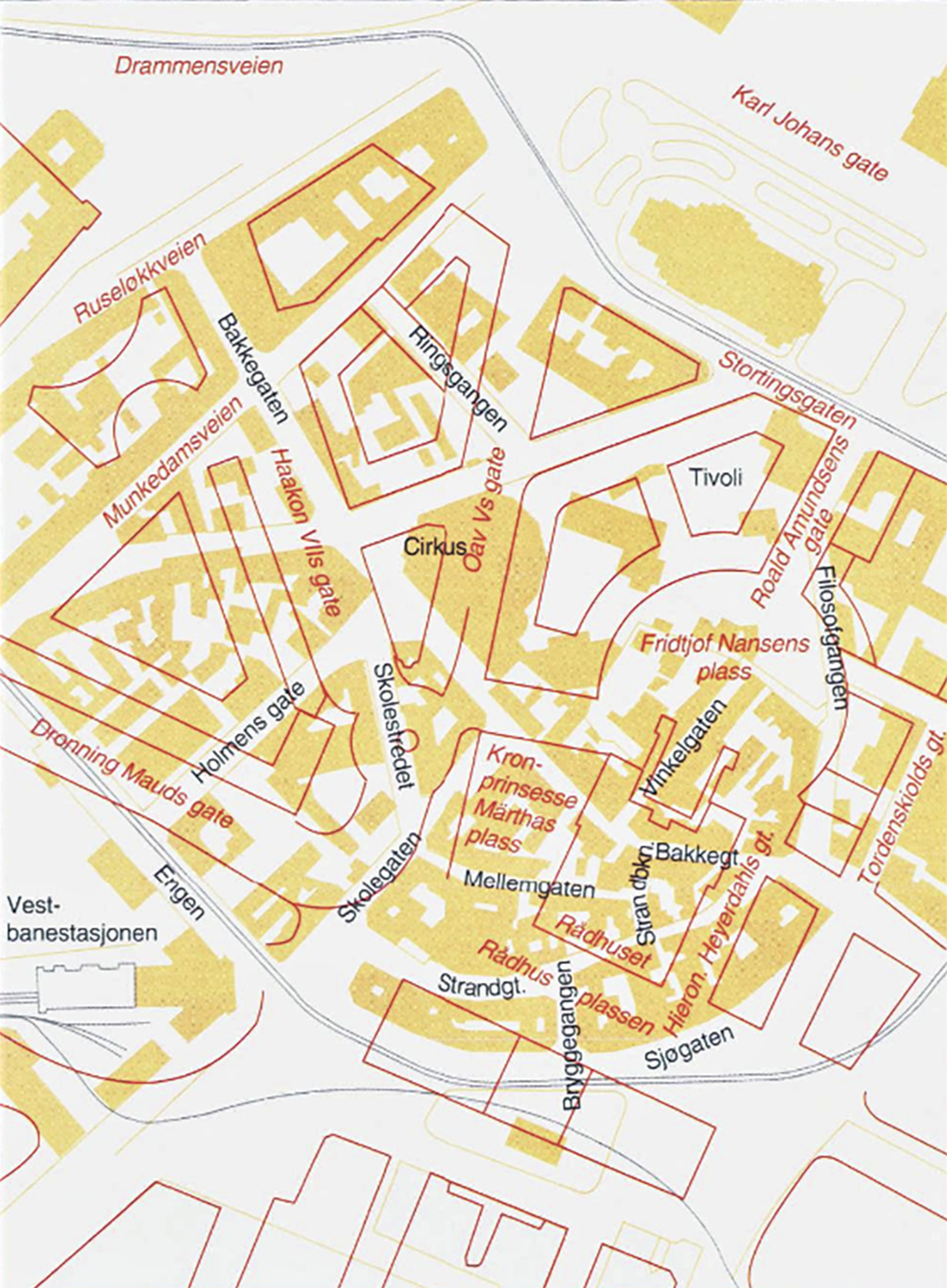
Revision as of 21:00, 29 June 2025 by Djando (Talk | contribs) (Map of Vika neighborhood in Oslo showing the newly built area (outlined in red) over the old neighborhood (in yellow) with the location of the Cirkus Verdensteater.)
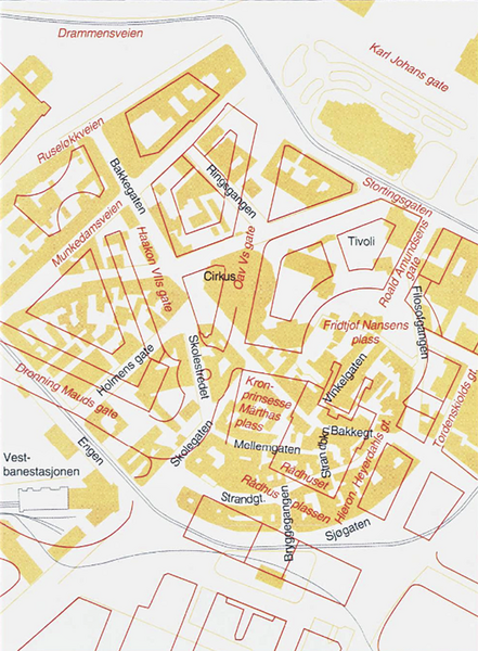
Size of this preview: 441 × 600 pixels. Other resolution: 176 × 240 pixels.
Original file (1,103 × 1,500 pixels, file size: 2.28 MB, MIME type: image/png)
Map of Vika neighborhood in Oslo showing the newly built area (outlined in red) over the old neighborhood (in yellow) with the location of the Cirkus Verdensteater.
File history
Click on a date/time to view the file as it appeared at that time.
| Date/Time | Thumbnail | Dimensions | User | Comment | |
|---|---|---|---|---|---|
| current | 21:00, 29 June 2025 | | 1,103 × 1,500 (2.28 MB) | Djando (Talk | contribs) | Map of Vika neighborhood in Oslo showing the newly built area (outlined in red) over the old neighborhood (in yellow) with the location of the Cirkus Verdensteater. |
- You cannot overwrite this file.
File usage
The following page links to this file: